The redistricting process is a daunting task for any school district. School districts throughout the United States are utilizing GIS software, like those offered by Geographic Information Solutions, LLC, for their district boundary adjustments and school planning. Learn more about the many GIS software options for school redistricting plans.
What is GIS?
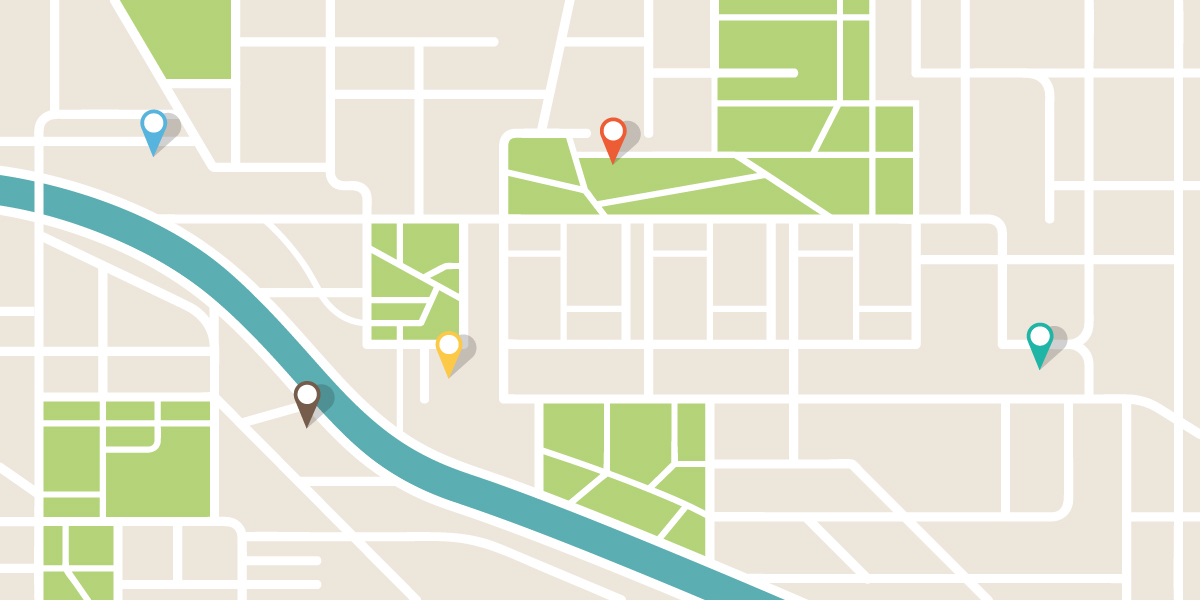
Geographic information system, or GIS, uses computers and software to gather, manage, analyze, and interpret data based on geography and visualizes the data on a map. It starts by mapping out geographic data (also called spatial or geospatial data) such as roads, borders, rivers, parcels, and addresses to name a few. Then additional data, known as tabular or attribute data, overlays onto the geographic data. Attribute data can be generally defined as additional information about each of the spatial features. An example of this would be schools. The actual location of the schools is the spatial data. Additional data such as the school name, grade configuration, student capacity, and facility condition would make up the attribute data.
It is the partnership of these two datasets that enables GIS to be such an effective problem-solving tool. By querying the database associated with the layers, the GIS allows users to perform “why” and “what if” scenarios and creates a resulting map depicting a visual analysis. Visualizing data geographically can help people spot patterns that would have been difficult or impossible to detect in a huge spreadsheet.
Types of Thematic GIS Maps
Choropleth Maps
Choropleth maps are the most common because they are the easiest to create and read. Simply assign the color to areas and a color-coded map is presented. Anyone can read this category map as long as they understand the correlation of the color to the data segment.Heat Maps
Heat maps are sometimes confused with quantity maps, but GIS heat maps have a unique mapping convention. These maps are useful when more and less dense regions need to be distinguished. In this case, red sections of the map typically stand for higher student density and blue portions represent more sparse areas of student populations.
Cluster Maps
Cluster maps are useful when combining densely packed data points. They utilize colors, shapes, and labels to represent different types of data and their compactness. When there are too many points to be displayed individually, it can be simplified with a cluster map..Raster Maps
Raster maps can look similar to other map types as they also use a color-coded system. However, it may include different shades of the same color or various colors depending upon the information being conveyed. This color shade variation represents the different quantities or values such as land use or elevation. These maps help visualize data over a widespread area.
All of these GIS map types provide easy visualization of the geography and population. Understanding the area’s population allows districts to deduce the best school placement and assignment areas. It may also help determine the number of schools for the area and how many of each (whether they are high schools, middle schools, or elementary schools). Redistricting maps using GIS software can help establish new districts or adjust current boundaries. GIS maps are easy to update and provide a way to test different configurations within the software before implementing.
More Than Just Redistricting
GIS software is helpful beyond the redistricting process and can be utilized in many aspects of school planning, such as:
- Determining district attendance boundaries
- Ensuring accurate district maps
- Preparing for disasters
- Planning bus routes
- Making informed decisions
GIS software can show useful redistricting data, such as housing types, demographic data, and enrollment potential. It also allows the district to evaluate communities of interest and determine if the people in the area prefer private or public schools. This will ensure your determined assignment areas are practical and will last. GIS can also provide accurate district maps for staff, students, and their families.
Having an accurate district map isn’t just beneficial for students and parents, it also is crucial in disaster planning. GIS maps help first responders accurately know the area for immediate assistance. They can also help you determine building damage and structure your recovery plan.
Plan out better bus routes with GIS software. Having an accurate district map that includes demographic data and roadmaps is the best way to determine the best paths for your buses.
District management is easier with GIS maps at your fingertips. District members make tough decisions for the district every day. GIS maps have extensive shapefiles and databases to pull from so district members can make well-informed decisions.
GIS, LLC for Easy Redistricting
Geographic Information Solutions, LLC’s leadership has 20 years of experience in geographic information systems and 17 years of educational consulting experience, making them the best choice for your redistricting and school planning needs.
GIS has four major products and services:
- Find My School™ and Bus Stop
- BEST Redistricting Tool (Boundary Exploration & Scenario Testing)
- Violation & Inspection Reporting Apps
- Consulting
The experts at Geographic Information Solutions, LLC are available for consultation to meet your redistricting needs, as well as any other school planning needs. Whether the problem is big or small, GIS, LLC, can find the solution. They provide affordable and effective systems to provide you with the technical support that you need. Choose GIS, LLC when deciding between your GIS software options for school redistricting. GIS, LLC consultants provide a collaborative solution to your biggest (or smallest) problems!
At GIS, LLC you will be provided:
- School district demographics and analysis
- Attendance boundary planning
- Custom web-based maps
- Custom mobile mapping and app development
- Online storefronts and inventory tracking
Contact us today and plan for success!