
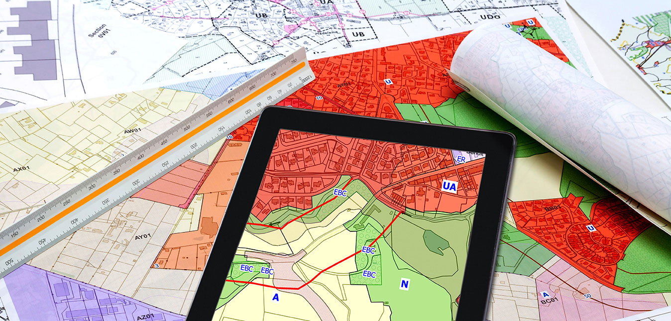
Geographic information systems help to connect data to a map (including information on location, addresses and zip codes) to give organizations a better understanding of location relationships and spatial patterns.
While GIS platforms collect spatial data, they can also connect metrics on types of land and the people living in those areas, which includes demographic data like population, income, and educational level. GIS can also store information on types of infrastructure to learn more about the sites of factories, farms, schools, roads, power lines, and more.
School districts benefit from this type of technology because they can easily compare and contrast GIS data. Afterall, having a comprehensive understanding of the nearby infrastructure and population can help a school district immensely.
Additionally, data collection from GIS technology provides a layered map. One layer pulls from the street data to provide a roadmap of the area. Another layer pulls from the building data to show where exactly infrastructure is located throughout the selected location. The final layer pulls from the vegetation dataset to map out the different types of plant life and foliage. Finally, all three maps are layered together to produce the integrated map showing the streets, buildings, and vegetation altogether for easy visualization of the location.
Use of GIS can be beneficial to school districts by determining the population of the area and a clear map of the surrounding space. GIS can aid school districts in the following ways:
- Redistricting
- Accurate district maps
- Disaster preparedness
- Determining transportation and bus routes
- School management and decision making
1. Determine District Attendance Boundaries
GIS software, like the interactive mapping, analysis and consulting provided by Geographic Information Solutions, LLC, aids in setting attendance boundaries for existing and new schools while also allowing for adjustments with advanced interactive maps that review the landscape and people affected by the change.
Understanding the population (and type of population) aids in determining the number of schools needed within a specific district and can give a solid basis when determining things like whether or not one high school will be enough or if multiple elementary schools are required in order to handle an influx of young families. Geospatial data is crucial in determining assignment area; assigning schools to students who live miles away may deter the purchase of a home within the district and ultimately a student’s enrollment.
GIS applications are also helpful in determining the location of schools because the additional information provided helps school boards and administration professionals determine how spread out schools should be based on the population of the districts. (Knowing your district is the first step in determining where those boundaries should lie!)
2. Ensure Accurate District Maps
An accurate map for educators, students, and their parents is crucial to district management. Geographic data like population and landscape changes constantly, and it is important to keep updated, accurate information for both maps and spatial analysis.
Paper maps become outdated quickly. By comparison, using a GIS system allows you to update the map in real time without the hassle of having inaccurate information or needing to print new copies. With students and parents having access to an updated, accurate map, administrative staff are freed up, with more time to answer other types of questions and address other district needs.
3. Prepare for Disaster
No one can predict when a disaster will happen, but having an accurate district map is critical to prepare for and recover from a disaster when and if it strikes.
Having an accurate GIS map helps districts determine what types of natural disasters are likely to occur in the area. For example, knowing if a tornado or earthquake is more common in that location, administrators will know which disaster plan should be a priority. GIS software can store this information to share the risks associated with the landscape and infrastructure in the area, which can be easily viewed and addressed.
It’s proven that having an accurate map is useful in emergency situations; first responders have a clear understanding of the area and know where to go. After an event, maps are helpful to review damage and determine evaluation spaces. Depending on the type of disaster, some buildings may be destroyed and no longer able to be occupied. Knowing the population in the area makes it easier to quickly reassign buildings when schools may need to be combined or temporarily adjusted.
Some real life examples that Geographic Information Solutions, LLC personally assisted districts with include recovering from volcanic activity in Hawaii and flooding in New Orleans from the aftermath of Hurricane Katrina. In both cases, having an accurate GIS map before the event was helpful to evaluate the damage to school buildings afterward.
Because of the proximity to volcanoes, schools in Hawaii were able to have a plan in place when responding to volcanic activity. Similarly, the flooding following Hurricane Katrina rendered buildings uninhabitable. In both cases, GIS’s software was used to identify and locate the students affected by the natural disaster and reassign schools temporarily.
GIS technology can also be used during a pandemic. Having clear population data lets administrators determine densely populated locations and where trouble areas may arise in such situations. It has also been used in contact tracing to determine who may be infected.
4. Plan Out Bus Routes
With an accurate map of the district, you can easily generate bus routes and a thorough transportation strategy. When there are multiple school buildings within a district, bus routes can be tricky to navigate (this planning is then compounded when borders are spread out and there are multiple buildings with varying ages). GIS data relieves the pain.
With information from a trusted platform like Geographic Information Solutions, school officials can see where students live in comparison to the buildings and easily plan for how many buses and routes are needed.
Parent questions about bus stops or building locations can be answered quickly with a view of the GIS map. Accessibility to accurate maps for students and parents helps answer questions before they arise!
5. Make Better Decisions
Use of GIS data aids school district management in making the best decisions for the area.
School district members have to make tough calls about the district every day, and should have all the data possible at their disposal to make those decisions. Demographic data is a major factor when determining if attendance boundaries need to be adjusted or not, and being able to quickly evaluate the population in the area, including demographics, income, and density is crucial to this decision. GIS maps help determine enrollment and utilization depending on the population, or even if a private or public school is the preferred school type for the people living there.
If students are assigned to a school too far away, they may want to go to another nearby district for their education. Geospatial data is a crucial piece of the puzzle in determining how many schools are needed for the amount of students, and how far they would reasonably be able to travel for school attendance.
GIS, LLC for School Boundaries, Bus Routes & More!
Geographic Information Solutions, LLC has 20 years of expertise in geographic information systems and 17 years of educational consulting experience, making them a unique company to help your school district.
GIS has four major products and services to assist your district:
- Find My School and Bus Stop
- BEST Redistricting Tool
- Violation & Inspection Reporting Apps
- Consulting
The experts at Geographic Information Solutions, LLC are available for consultation for your school district’s particular needs, and no matter the problem, big or small, GIS, LLC can find the solution.
- School district demographics and analysis
- Attendance boundary planning
- Custom web-based maps
- Custom mobile mapping and app development
- Online storefronts and inventory tracking
We’re here to help your district plan for success. Contact us today and get started!